

By clicking on a vessel you can select the ship and get more details about the current movement.
You also get AIS+ Information like signal strength and signal drift
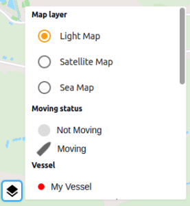
Clicking on the Legend Menu you can switch between map types and get an explanation of the different type of vessels.
![]()
All times are displayed in local time. For some ports also tide information High Water (HW) and Low Water (LW) is available.